The first all-in-one Detroit Transit System application. There is no longer a need to download multi
看更多 »RIIS LLC
FieldMap
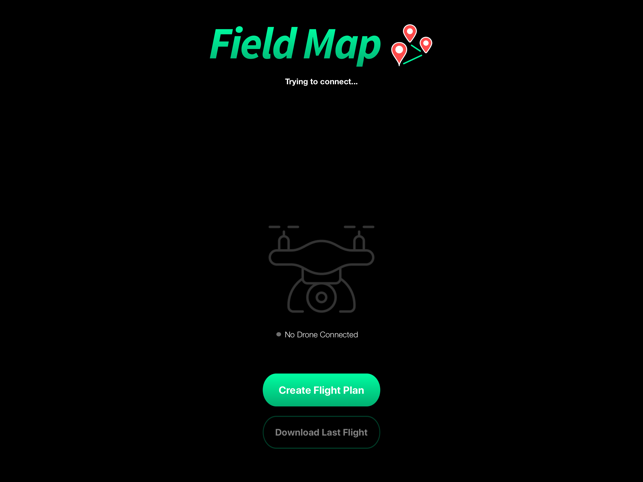
Use your waypoint capable drone to map your field. Here's how it works:1. Connect a drone 2. Dra
看更多 »Cattle Counter
For the flight planner (automatic flight):1. Turn on drone and controller, and open the app on the p
看更多 »Sheep Counter
For the flight planner (NON-manual flight):1. Turn on drone and controller, and open the app on the
看更多 »ETA Detroit: DDOT Smart Reflex
The first all-in-one Detroit Public Transport routes and bus schedule app. Get a bus map showing all
看更多 »Roofing Cost Calculator
Fly a drone and take pictures of a house to get the surface area of the roof and input prices to gen
看更多 »1


